
Carrizozo topographic map
Click on the map to display elevation.
About this map
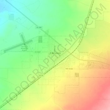
Name: Carrizozo topographic map, elevation, terrain.
Location: Carrizozo, Lincoln County, New Mexico, United States (33.62722 -105.90650 33.66333 -105.78140)
Average elevation: 5,456 ft
Minimum elevation: 5,138 ft
Maximum elevation: 6,099 ft
Lincoln County trails, hiking, mountain biking, running and outdoor activities
Other topographic maps
Click on a map to view its topography, its elevation and its terrain.
Alto
United States > New Mexico > Lincoln County
Alto is located at an elevation of 7,550 feet (2,300 m) in the Lincoln National Forest, five miles (8.0 km) north of the village of Ruidoso. Alto received its name from the Spanish word "high" because of its elevation.
Average elevation: 7,497 ft
Alto
United States > New Mexico > Lincoln County
Alto is located at an elevation of 7,550 feet (2,300 m) in the Lincoln National Forest, five miles (8.0 km) north of the village of Ruidoso. Alto received its name from the Spanish word "high" because of its elevation.
Average elevation: 7,497 ft