
The Big Tree topographic map
Click on the map to display elevation.
About this map
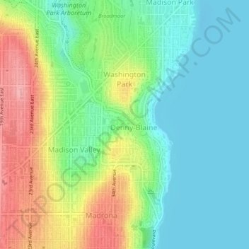
Name: The Big Tree topographic map, elevation, terrain.
Average elevation: 141 ft
Minimum elevation: -10 ft
Maximum elevation: 404 ft
King County trails, hiking, mountain biking, running and outdoor activities
Other topographic maps
Click on a map to view its topography, its elevation and its terrain.
Fritz Hedges Waterway Park
United States > Washington > King County > Seattle
Average elevation: 105 ft
Donnie Chin International Children’s Park
United States > Washington > King County > Seattle
Average elevation: 141 ft