
Tetons topographic map
Click on the map to display elevation.
About this map
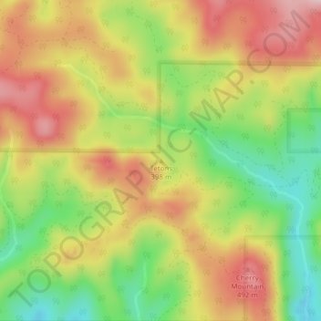
Name: Tetons topographic map, elevation, terrain.
Location: Tetons, Yamhill County, Oregon, United States (45.17284 -123.62655 45.17294 -123.62645)
Average elevation: 1,332 ft
Minimum elevation: 915 ft
Maximum elevation: 1,719 ft
Yamhill County trails, hiking, mountain biking, running and outdoor activities
Other topographic maps
Click on a map to view its topography, its elevation and its terrain.
Newberg
United States > Oregon > Yamhill County
According to the United States Census Bureau, the city has a total area of 5.81 square miles (15.05 km2), all of it land. It averages 176 feet (54 m) in elevation.
Average elevation: 200 ft
Sheridan
United States > Oregon > Yamhill County
The South Yamhill River divides the city between north and south, and is prone to flooding the city. Deer Creek is the only other stream in the city. Sheridan is located in the western part of the Willamette Valley at an elevation of 189 feet (58 m) above sea level. The city lies at the foothills of the…
Average elevation: 279 ft
Newberg
United States > Oregon > Yamhill County
According to the United States Census Bureau, the city has a total area of 5.81 square miles (15.05 km2), all land. It averages 176 feet (54 m) in elevation.
Average elevation: 200 ft