Geolocate

Wickham topographic map

Click on the map to display elevation.

About this map
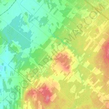
Name: Wickham topographic map, elevation, terrain.

Location: Wickham, Drummond, Centre-du-Québec, Quebec, Canada (45.70077 -72.57813 45.82811 -72.40921)

Average elevation: 341 ft

Minimum elevation: 226 ft

Maximum elevation: 525 ft

Gear up for your next adventure:

🍳Camping Cook Set - Complete cookware for outdoor meals
🔊Portable Camp Speaker - Music and alerts at camp
🪶Camp Gear Gift Set - Perfect gift bundle for outdoor fans
📡Handheld GPS Device - Reliable handheld GPS for outdoor navigation
🛰️Handheld GPS Units - Professional satellite navigators for precise backcountry mapping

As an Amazon Associate, this site earns from qualifying purchases at no extra cost to you.