Harrogate topographic map
Click on the map to display elevation.
Harrogate
Harrogate is situated on the edge of the Yorkshire Dales, with the Vale of York to the east and the upland Yorkshire Dales to the west and north-west. It has a dry and mild climate, typical of places in the rain shadow of the Pennines. It is on the A59 from Skipton to York. At an altitude of between 100 and 200 metres (330 and 660 ft), Harrogate is higher than many English settlements. It has an average minimum temperature in January of slightly below 0 °C (32 °F) and an average maximum in July and August of 20 °C (68 °F).
About this map
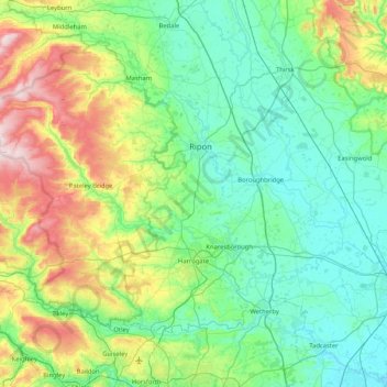
Name: Harrogate topographic map, elevation, terrain.
Location: Harrogate, North Yorkshire, England, United Kingdom (53.89141 -2.00450 54.26160 -1.17500)
Average elevation: 430 ft
Minimum elevation: 13 ft
Maximum elevation: 1,864 ft
Other topographic maps
Click on a map to view its topography, its elevation and its terrain.












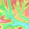
Bolton Castle
United Kingdom > England > North Yorkshire > Redmire > Castle Bolton
Average elevation: 820 ft


Thimbleby & Osmotherly Show field
United Kingdom > England > North Yorkshire > Thimbleby
Average elevation: 499 ft



Easby Moor
United Kingdom > England > North Yorkshire > Easby > Little Ayton
Average elevation: 604 ft


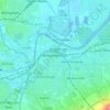
Killinghall
United Kingdom > England > North Yorkshire > Harrogate > Killinghall
Average elevation: 282 ft



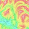
Ribblesdale
United Kingdom > England > North Yorkshire > Horton in Ribblesdale
Average elevation: 1,207 ft
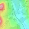
Selside
United Kingdom > England > North Yorkshire > Horton in Ribblesdale
Average elevation: 1,099 ft

Scorton
United Kingdom > England > North Yorkshire > Richmondshire > Scorton
Average elevation: 194 ft
Willerby Brow Plantation
United Kingdom > England > North Yorkshire > Ryedale > Staxton > Binnington
Average elevation: 328 ft

Howgill
United Kingdom > England > North Yorkshire > Craven > Appletreewick > Howgill
Average elevation: 843 ft