Geolocate

Elkhorn Precinct topographic map

Click on the map to display elevation.

About this map

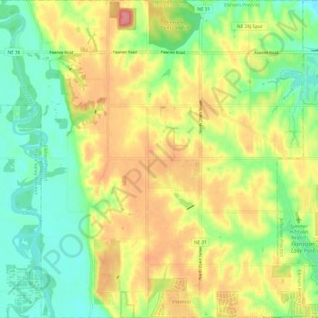
Name: Elkhorn Precinct topographic map, elevation, terrain.

Location: Elkhorn Precinct, Douglas County, Nebraska, United States (41.30638 -96.31146 41.39315 -96.19640)

Average elevation: 1,224 ft

Minimum elevation: 1,099 ft

Maximum elevation: 1,375 ft

Other topographic maps

Click on a map to view its topography, its elevation and its terrain.

Discovery Garden

United States > Nebraska > Douglas County > Omaha

Average elevation: 1,096 ft

Elkhorn City Park

United States > Nebraska > Douglas County > Omaha

Average elevation: 1,220 ft

Omaha

United States > Nebraska > Douglas County > Omaha

Average elevation: 1,112 ft

Gear up for your next adventure:

🧭Outdoor Navigation Book - Learn advanced navigation skills
🔌Solar Panel Charger - Charge gear sustainably outdoors
🛰️Satellite Messengers - Emergency SOS and two-way messaging for off-grid adventures
🗻Climbing Gear Basics - Essential gear for beginner climbers
GPS Sports Watch - GPS watch for running, hiking and training

As an Amazon Associate, this site earns from qualifying purchases at no extra cost to you.