
河流 topographic map
Interactive map
Click on the map to display elevation.
About this map
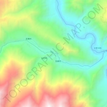
Name: 河流 topographic map, elevation, terrain.
Location: 河流, 左贡县, 昌都市, 西藏自治区, 中国 (29.63894 97.38081 29.66218 97.48732)
Average elevation: 11,444 ft
Minimum elevation: 8,389 ft
Maximum elevation: 17,201 ft
Other topographic maps
Click on a map to view its topography, its elevation and its terrain.