Geolocate

Salemsborg topographic map

Click on the map to display elevation.

About this map

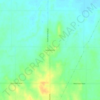
Name: Salemsborg topographic map, elevation, terrain.

Location: Salemsborg, Saline County, Kansas, United States (38.67528 -97.70615 38.71528 -97.66615)

Average elevation: 1,309 ft

Minimum elevation: 1,276 ft

Maximum elevation: 1,375 ft

Saline County trails, hiking, mountain biking, running and outdoor activities

Other topographic maps

Click on a map to view its topography, its elevation and its terrain.

New Cambria

United States > Kansas > Saline County

Average elevation: 1,194 ft

Gear up for your next adventure:

📷Action Camera - Capture your outdoor adventures in HD
🔪Outdoor Multitools - Essential survival tools for gear repair and field use
🪵Folding Camp Saw - Compact saw for wood and campsite work
🌄Hiking Binoculars - Compact binoculars for scenic views and trail spotting
🧷Carabiner Set - Durable clips for gear attachment

As an Amazon Associate, this site earns from qualifying purchases at no extra cost to you.