
Moiben topographic map
Click on the map to display elevation.
About this map
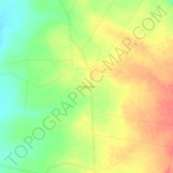
Name: Moiben topographic map, elevation, terrain.
Location: Moiben, Uasin Gishu County, Kenya (0.79660 35.36330 0.83660 35.40330)
Average elevation: 6,975 ft
Minimum elevation: 6,870 ft
Maximum elevation: 7,064 ft