
Marron topographic map
Interactive map
Click on the map to display elevation.
About this map
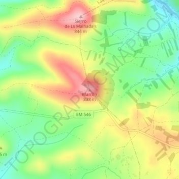
Name: Marron topographic map, elevation, terrain.
Location: Marron, Vimioso, Bragance, Portugal (41.61468 -6.43764 41.61478 -6.43754)
Average elevation: 2,428 ft
Minimum elevation: 2,156 ft
Maximum elevation: 2,756 ft
Other topographic maps
Click on a map to view its topography, its elevation and its terrain.