
Santulhão topographic map
Interactive map
Click on the map to display elevation.
About this map
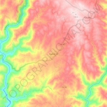
Name: Santulhão topographic map, elevation, terrain.
Location: Santulhão, Vimioso, Bragance, 5230, Portugal (41.52804 -6.67810 41.60197 -6.56764)
Average elevation: 1,854 ft
Minimum elevation: 958 ft
Maximum elevation: 2,402 ft
Other topographic maps
Click on a map to view its topography, its elevation and its terrain.