
Algoso topographic map
Interactive map
Click on the map to display elevation.
About this map
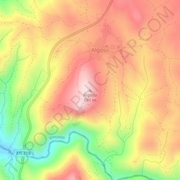
Name: Algoso topographic map, elevation, terrain.
Location: Algoso, Vimioso, Bragance, Portugal (41.46413 -6.57760 41.46423 -6.57750)
Average elevation: 1,755 ft
Minimum elevation: 1,096 ft
Maximum elevation: 2,231 ft
Other topographic maps
Click on a map to view its topography, its elevation and its terrain.