Geolocate

Snye topographic map

Click on the map to display elevation.

About this map

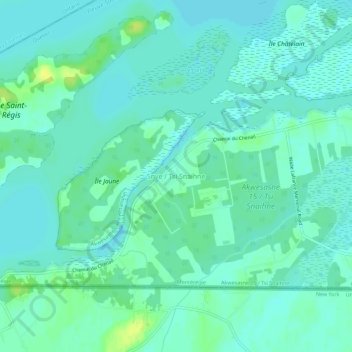
Name: Snye topographic map, elevation, terrain.

Location: Snye, Le Haut-Saint-Laurent, Montérégie, Quebec, Canada (44.99196 -74.62782 45.03196 -74.58782)

Average elevation: 161 ft

Minimum elevation: 141 ft

Maximum elevation: 207 ft

Gear up for your next adventure:

🚑Emergency Bivvies - Heat-reflective sleeping bags for survival situations
🧢Outdoor Hiking Hat - Sun protection hat for outdoor explorers
📶Vehicle Signal Boosters - Improve reception in rural areas while driving to trailheads
🛌Ultralight Sleeping Bags - Compact down bags for cold nights in the wilderness
🛶Inflatable Kayak - Portable kayak for rivers, lakes, and expeditions

As an Amazon Associate, this site earns from qualifying purchases at no extra cost to you.