Geolocate

Sector 85 topographic map

Click on the map to display elevation.

About this map

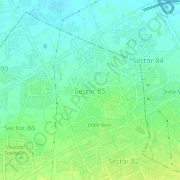
Name: Sector 85 topographic map, elevation, terrain.

Location: Sector 85, Manesar, Gurugram District, Haryana, India (28.39553 76.94539 28.41202 76.96086)

Average elevation: 748 ft

Minimum elevation: 725 ft

Maximum elevation: 778 ft

Other topographic maps

Click on a map to view its topography, its elevation and its terrain.

Leisure Valley Park

India > Haryana > Gurugram District

Average elevation: 771 ft

Damdama Lake

India > Haryana > Gurugram District

Average elevation: 794 ft

Gear up for your next adventure:

🕶️GPS Smartphone Mount - Secure mount for phone navigation
🌎3D Topographic Globes - Raised relief globes for a tactile understanding of geography
🪶Survival Guide Book - Expert advice for emergency preparedness
🛠️Outdoor Gear Repair Kit - Essential tools to fix gear on the trail
🔊Portable Camp Speaker - Music and alerts at camp

As an Amazon Associate, this site earns from qualifying purchases at no extra cost to you.