Geolocate

Walters topographic map

Click on the map to display elevation.

About this map

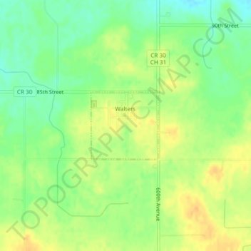
Name: Walters topographic map, elevation, terrain.

Location: Walters, Faribault County, Minnesota, United States (43.60108 -93.67839 43.60834 -93.66838)

Average elevation: 1,234 ft

Minimum elevation: 1,181 ft

Maximum elevation: 1,276 ft

Faribault County trails, hiking, mountain biking, running and outdoor activities

Other topographic maps

Click on a map to view its topography, its elevation and its terrain.

Huntley

United States > Minnesota > Faribault County

Average elevation: 1,093 ft

Gear up for your next adventure:

🎒Trail Energy Bars - High‑calorie bars for hiking energy
🏕️Family Camping Gear - Essentials for group camping trips
🦶Hiking Gaiters - Keep debris and water out of your boots
🌎3D Topographic Globes - Raised relief globes for a tactile understanding of geography
❄️Traction Cleats - Prevent slips on icy trails during winter hikes

As an Amazon Associate, this site earns from qualifying purchases at no extra cost to you.