
辉腾锡勒园区管理委员会 topographic map
Interactive map
Click on the map to display elevation.
About this map
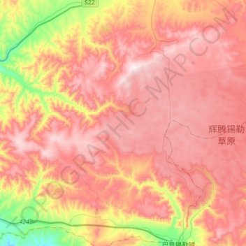
Name: 辉腾锡勒园区管理委员会 topographic map, elevation, terrain.
Location: 辉腾锡勒园区管理委员会, 察哈尔右翼中旗, 乌兰察布市, 内蒙古自治区, 中国 (41.02038 112.47633 41.22985 112.74839)
Average elevation: 6,253 ft
Minimum elevation: 4,905 ft
Maximum elevation: 7,119 ft
Other topographic maps
Click on a map to view its topography, its elevation and its terrain.