
科布尔镇 topographic map
Interactive map
Click on the map to display elevation.
About this map
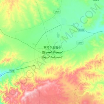
Name: 科布尔镇 topographic map, elevation, terrain.
Location: 科布尔镇, 察哈尔右翼中旗, 乌兰察布市, 内蒙古自治区, 中国 (41.19660 112.49842 41.35355 112.83889)
Average elevation: 5,984 ft
Minimum elevation: 5,390 ft
Maximum elevation: 7,119 ft
Other topographic maps
Click on a map to view its topography, its elevation and its terrain.