
Medina topographic map
Click on the map to display elevation.
About this map
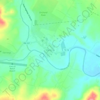
Name: Medina topographic map, elevation, terrain.
Location: Medina, Bandera County, Texas, 78055, United States (29.77661 -99.26643 29.81661 -99.22643)
Average elevation: 1,483 ft
Minimum elevation: 1,394 ft
Maximum elevation: 1,699 ft
Bandera County trails, hiking, mountain biking, running and outdoor activities
Other topographic maps
Click on a map to view its topography, its elevation and its terrain.