Geolocate

Gilman topographic map

Click on the map to display elevation.

About this map

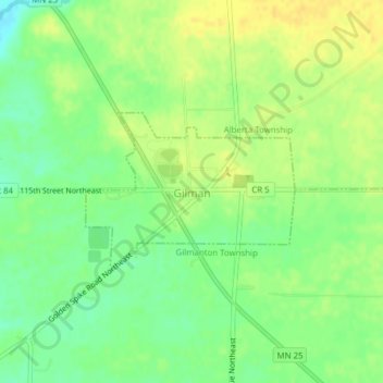
Name: Gilman topographic map, elevation, terrain.

Location: Gilman, Benton County, Minnesota, United States (45.72976 -93.95991 45.74089 -93.93876)

Average elevation: 1,194 ft

Minimum elevation: 1,148 ft

Maximum elevation: 1,227 ft

Benton County trails, hiking, mountain biking, running and outdoor activities

Other topographic maps

Click on a map to view its topography, its elevation and its terrain.

Oak Park

United States > Minnesota > Benton County

Average elevation: 1,122 ft

Watab

United States > Minnesota > Benton County

Average elevation: 1,053 ft

Gear up for your next adventure:

GPS Sports Watch - GPS watch for running, hiking and training
🧣Merino Neck Gaiters - Multi-functional headwear for wind and sun protection
Camping Coffee Makers - Enjoy premium coffee at the summit or campsite
💧Water Purification System - Clean water on the trail with reliable purifiers
🎒Trail Energy Bars - High‑calorie bars for hiking energy

As an Amazon Associate, this site earns from qualifying purchases at no extra cost to you.