
Stoutland topographic map
Click on the map to display elevation.
About this map
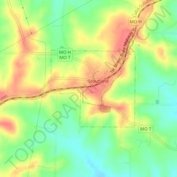
Name: Stoutland topographic map, elevation, terrain.
Location: Stoutland, Camden County, Missouri, United States (37.80717 -92.52595 37.81890 -92.50695)
Average elevation: 1,086 ft
Minimum elevation: 981 ft
Maximum elevation: 1,191 ft
Camden County trails, hiking, mountain biking, running and outdoor activities
Other topographic maps
Click on a map to view its topography, its elevation and its terrain.