
Make a donation
Gear up for your next adventure:
As an Amazon Associate, this site earns from qualifying purchases at no extra cost to you.
Lakkenahalli topographic map
Click on the map to display elevation.
Make a donation
Gear up for your next adventure:
As an Amazon Associate, this site earns from qualifying purchases at no extra cost to you.
About this map
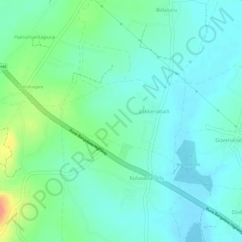
Name: Lakkenahalli topographic map, elevation, terrain.
Average elevation: 2,927 ft
Minimum elevation: 2,854 ft
Maximum elevation: 3,127 ft
Make a donation
Gear up for your next adventure:
As an Amazon Associate, this site earns from qualifying purchases at no extra cost to you.
Other topographic maps
Click on a map to view its topography, its elevation and its terrain.
Nelamangala
India > Karnataka > Nelamangala taluk
{{Infobox settlement | name = Nelamangala | native_name = ನೆಲಮಂಗಲ | native_name_lang = kn | other_name = | nickname = | settlement_type = City | image_skyline = | image_alt = | image_caption = | pushpin_map = India Karnataka#India#Asia | pushpin_label_position = right | pushpin_map_alt = |…
Average elevation: 2,900 ft
Make a donation
Gear up for your next adventure:
As an Amazon Associate, this site earns from qualifying purchases at no extra cost to you.