
Preston topographic map
Click on the map to display elevation.
About this map
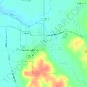
Name: Preston topographic map, elevation, terrain.
Location: Preston, Jackson County, Iowa, 52069, United States (42.04070 -90.40863 42.05932 -90.38404)
Average elevation: 679 ft
Minimum elevation: 627 ft
Maximum elevation: 804 ft
Jackson County trails, hiking, mountain biking, running and outdoor activities
Other topographic maps
Click on a map to view its topography, its elevation and its terrain.
Springbrook
United States > Iowa > Jackson County > Springbrook > Springbrook
Average elevation: 807 ft