
Darnall topographic map
Click on the map to display elevation.
About this map
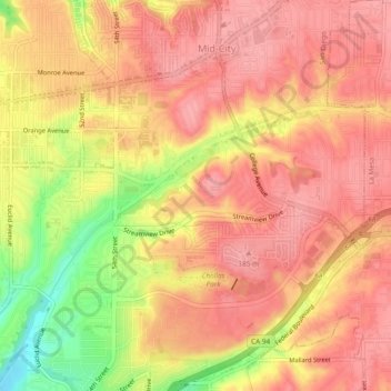
Name: Darnall topographic map, elevation, terrain.
Average elevation: 387 ft
Minimum elevation: 154 ft
Maximum elevation: 486 ft
San Diego County trails, hiking, mountain biking, running and outdoor activities
Other topographic maps
Click on a map to view its topography, its elevation and its terrain.
Old Town San Diego State Historical Park
United States > California > San Diego County > San Diego
Average elevation: 59 ft
Embarcadero Marina Park
United States > California > San Diego County > San Diego
Average elevation: 23 ft