Geolocate

Frydek topographic map

Click on the map to display elevation.

About this map

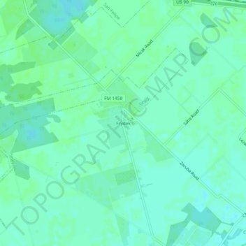
Name: Frydek topographic map, elevation, terrain.

Location: Frydek, Austin County, Texas, United States (29.73329 -96.10829 29.77329 -96.06829)

Average elevation: 151 ft

Minimum elevation: 138 ft

Maximum elevation: 164 ft

Austin County trails, hiking, mountain biking, running and outdoor activities

Other topographic maps

Click on a map to view its topography, its elevation and its terrain.

Wallis

United States > Texas > Austin County

Average elevation: 131 ft

Sealy

United States > Texas > Austin County

Average elevation: 177 ft

Gear up for your next adventure:

📦Dry Bags Set - Waterproof storage for electronics and clothes
🛰️Handheld GPS Units - Professional satellite navigators for precise backcountry mapping
🦺Reflective Outdoor Gear - Safety gear for low‑light conditions
🧭Pro Hiking Compasses - High-accuracy liquid-filled compasses for topographic orientation
🧷Carabiner Set - Durable clips for gear attachment

As an Amazon Associate, this site earns from qualifying purchases at no extra cost to you.