Geolocate

Plymell topographic map

Click on the map to display elevation.

About this map

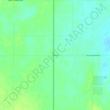
Name: Plymell topographic map, elevation, terrain.

Location: Plymell, Finney County, Kansas, United States (37.78975 -100.88989 37.82975 -100.84989)

Average elevation: 2,881 ft

Minimum elevation: 2,858 ft

Maximum elevation: 2,904 ft

Finney County trails, hiking, mountain biking, running and outdoor activities

Other topographic maps

Click on a map to view its topography, its elevation and its terrain.

Holcomb

United States > Kansas > Finney County

Average elevation: 2,884 ft

Gear up for your next adventure:

👟Trail Running Shoes - Lightweight shoes for trail runners
📌Outdoor GPS Map App - Apps and devices for digital topographic navigation
🎒Trail Energy Bars - High‑calorie bars for hiking energy
🌧️Backpack Rain Cover - Keep gear dry in wet weather
📶Vehicle Signal Boosters - Improve reception in rural areas while driving to trailheads

As an Amazon Associate, this site earns from qualifying purchases at no extra cost to you.