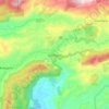
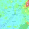
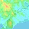
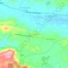
Weligama topographic map
Click on the map to display elevation.
Weligama
Weligama (Sinhala: වැලිගම, Tamil: வெலிகாமம்) is a town on the south coast of Sri Lanka, located in Matara District, Southern Province, Sri Lanka, governed by an Urban Council. The name Weligama, literally means "sandy village" which refers to the area's sandy sweep bay. It is approximately 144 kilometres (89 mi) south of Colombo and is situated at an elevation of 9 metres (30 ft) above the sea level.
About this map
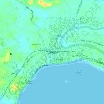
Name: Weligama topographic map, elevation, terrain.
Location: Weligama, Matara District, Southern Province, Sri Lanka (5.96910 80.42287 5.98161 80.43598)
Average elevation: 23 ft
Minimum elevation: -3 ft
Maximum elevation: 102 ft
Other topographic maps
Click on a map to view its topography, its elevation and its terrain.