Geolocate

Redoubt topographic map

Click on the map to display elevation.

About this map

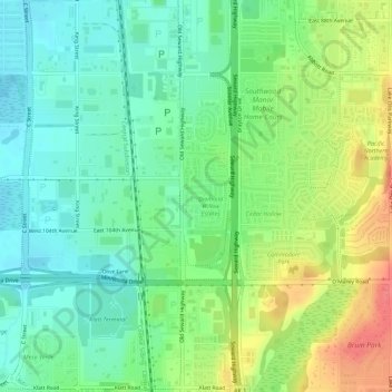
Name: Redoubt topographic map, elevation, terrain.

Location: Redoubt, Anchorage, Alaska, United States (61.12863 -149.86364 61.12945 -149.86028)

Average elevation: 161 ft

Minimum elevation: 85 ft

Maximum elevation: 285 ft

Anchorage trails, hiking, mountain biking, running and outdoor activities

Other topographic maps

Click on a map to view its topography, its elevation and its terrain.

Wilson Village

United States > Alaska > Anchorage > Anchorage

Average elevation: 157 ft

Girdwood

United States > Alaska > Anchorage

Average elevation: 594 ft

Anchorage

United States > Alaska > Anchorage

Average elevation: 407 ft

Knik Arm

United States > Alaska > Anchorage

Average elevation: 236 ft

South Yuyanq’ Ch’ex

United States > Alaska > Anchorage

Average elevation: 3,514 ft

Gear up for your next adventure:

🪓Survival Multi‑Tool - Versatile tool for camp and trail tasks
🥾Men's Hiking Boots - Durable, waterproof footwear for rugged terrain and steep inclines
🧦Merino Wool Socks - Moisture-wicking, blister-preventing socks for long treks
📖Nature Tracking Books - Learn to track wildlife and terrain
🔌Solar Panel Charger - Charge gear sustainably outdoors

As an Amazon Associate, this site earns from qualifying purchases at no extra cost to you.