Geolocate

Elp topographic map

Click on the map to display elevation.

About this map

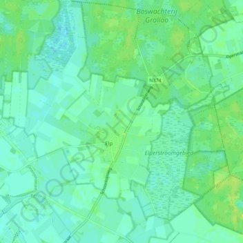
Name: Elp topographic map, elevation, terrain.

Location: Elp, Midden-Drenthe, Drenthe, Netherlands (52.86070 6.61301 52.91281 6.68637)

Average elevation: 59 ft

Minimum elevation: 43 ft

Maximum elevation: 82 ft

Other topographic maps

Click on a map to view its topography, its elevation and its terrain.

Hondsrug

Netherlands > Drenthe > Exloo

Average elevation: 62 ft

Lhee

Netherlands > Drenthe

Average elevation: 36 ft

Zuidbarge

Netherlands > Drenthe > Emmen

Average elevation: 66 ft

Gear up for your next adventure:

🧣Hiking Neck Gaiter - Multi‑use neck protection for outdoor weather
🔌Solar Panel Charger - Charge gear sustainably outdoors
🔭Telescopic Hiking Pole - Adjustable pole for hiking stability
🧤Hiking Gloves - Protective gloves for rugged trails
🪶Multi‑Purpose Knife - Useful blade for camp and trail

As an Amazon Associate, this site earns from qualifying purchases at no extra cost to you.