Geolocate

Beardstown topographic map

Click on the map to display elevation.

About this map

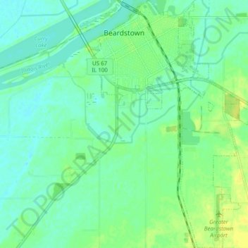
Name: Beardstown topographic map, elevation, terrain.

Location: Beardstown, Cass County, Illinois, United States (39.96616 -90.44399 40.02439 -90.39263)

Average elevation: 446 ft

Minimum elevation: 423 ft

Maximum elevation: 479 ft

Cass County trails, hiking, mountain biking, running and outdoor activities

Other topographic maps

Click on a map to view its topography, its elevation and its terrain.

Jules

United States > Illinois > Cass County

Average elevation: 623 ft

Gear up for your next adventure:

🔊Portable Camp Speaker - Music and alerts at camp
🖼️Topo Map Wall Art - Decorative topographic prints of famous peaks and regions
📱Solar Portable Charger - Solar power bank for charging devices off‑grid
🧣Hiking Neck Gaiter - Multi‑use neck protection for outdoor weather
🪓Survival Multi‑Tool - Versatile tool for camp and trail tasks

As an Amazon Associate, this site earns from qualifying purchases at no extra cost to you.