
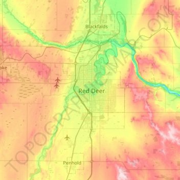
Red Deer topographic map
Click on the map to display elevation.
About this map
Name: Red Deer topographic map, elevation, terrain.
Location: Red Deer, Alberta, T4N 4H5, Canada (52.10984 -113.97836 52.42984 -113.65836)
Average elevation: 3,012 ft
Minimum elevation: 2,618 ft
Maximum elevation: 3,478 ft
Other topographic maps
Click on a map to view its topography, its elevation and its terrain.