
洪林镇 topographic map
Interactive map
Click on the map to display elevation.
About this map
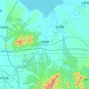
Name: 洪林镇 topographic map, elevation, terrain.
Location: 洪林镇, 宣州区, 宣城市, 安徽省, 中国 (30.86866 118.89228 31.07741 119.04519)
Average elevation: 151 ft
Minimum elevation: 7 ft
Maximum elevation: 1,447 ft
Other topographic maps
Click on a map to view its topography, its elevation and its terrain.