
水阳江 topographic map
Interactive map
Click on the map to display elevation.
About this map
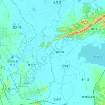
Name: 水阳江 topographic map, elevation, terrain.
Location: 水阳江, 宣州区, 宣城市, 安徽省, 242100, 中国 (30.99538 118.74165 31.23156 118.79265)
Average elevation: 72 ft
Minimum elevation: 7 ft
Maximum elevation: 1,050 ft
Other topographic maps
Click on a map to view its topography, its elevation and its terrain.