
宣城市经济开发区 topographic map
Interactive map
Click on the map to display elevation.
About this map
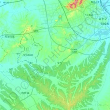
Name: 宣城市经济开发区 topographic map, elevation, terrain.
Location: 宣城市经济开发区, 宣州区, 宣城市, 安徽省, 中国 (30.81160 118.56686 30.97562 118.76045)
Average elevation: 157 ft
Minimum elevation: 16 ft
Maximum elevation: 748 ft
Other topographic maps
Click on a map to view its topography, its elevation and its terrain.