
东坪镇 topographic map
Interactive map
Click on the map to display elevation.
About this map
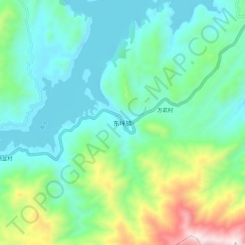
Name: 东坪镇 topographic map, elevation, terrain.
Location: 东坪镇, 乳源瑶族自治县, 韶关市, 广东省, 中国 (24.69525 113.14492 24.77525 113.22492)
Average elevation: 1,549 ft
Minimum elevation: 630 ft
Maximum elevation: 4,452 ft
Other topographic maps
Click on a map to view its topography, its elevation and its terrain.