
大布镇 topographic map
Interactive map
Click on the map to display elevation.
About this map
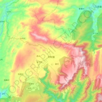
Name: 大布镇 topographic map, elevation, terrain.
Location: 大布镇, 乳源瑶族自治县, 韶关市, 广东省, 中国 (24.47042 113.01991 24.62992 113.21110)
Average elevation: 2,014 ft
Minimum elevation: 262 ft
Maximum elevation: 4,121 ft
Other topographic maps
Click on a map to view its topography, its elevation and its terrain.