
洛阳镇 topographic map
Interactive map
Click on the map to display elevation.
About this map
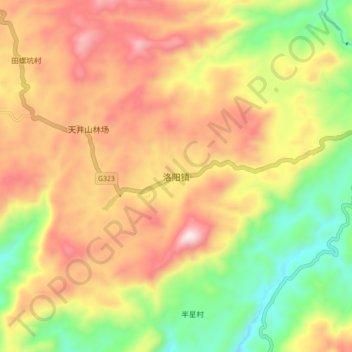
Name: 洛阳镇 topographic map, elevation, terrain.
Location: 洛阳镇, 乳源瑶族自治县, 韶关市, 广东省, 中国 (24.63808 113.01440 24.71808 113.09440)
Average elevation: 1,969 ft
Minimum elevation: 784 ft
Maximum elevation: 3,150 ft
Other topographic maps
Click on a map to view its topography, its elevation and its terrain.