Geolocate

Brnaze topographic map

Click on the map to display elevation.

About this map

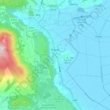
Name: Brnaze topographic map, elevation, terrain.

Location: Brnaze, Grad Sinj, 21234, Croatia (43.65611 16.63190 43.70202 16.71672)

Average elevation: 1,234 ft

Minimum elevation: 958 ft

Maximum elevation: 2,897 ft

Gear up for your next adventure:

🦺Reflective Outdoor Gear - Safety gear for low‑light conditions
📶Vehicle Signal Boosters - Improve reception in rural areas while driving to trailheads
🎒Hydration Pack - Hands‑free water reservoir for long hikes
🗃️Trail First Aid Kit - Essential kit for outdoor injuries and emergencies
👟Trail Running Shoes - Lightweight shoes for trail runners

As an Amazon Associate, this site earns from qualifying purchases at no extra cost to you.