Geolocate

Willard topographic map

Click on the map to display elevation.

About this map

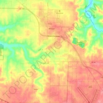
Name: Willard topographic map, elevation, terrain.

Location: Willard, Greene County, Missouri, United States (37.24221 -93.45987 37.32912 -93.38278)

Average elevation: 1,191 ft

Minimum elevation: 1,024 ft

Maximum elevation: 1,299 ft

Greene County trails, hiking, mountain biking, running and outdoor activities

Other topographic maps

Click on a map to view its topography, its elevation and its terrain.

Bois D'Arc

United States > Missouri > Greene County

Average elevation: 1,217 ft

Galloway

United States > Missouri > Greene County > Springfield

Average elevation: 1,247 ft

Mentor

United States > Missouri > Greene County

Average elevation: 1,319 ft

Ebenezer

United States > Missouri > Greene County

Average elevation: 1,247 ft

Ebenezer

United States > Missouri > Greene County

Average elevation: 1,247 ft

Riverpark

United States > Missouri > Greene County > Riverpark

Average elevation: 1,214 ft

Gear up for your next adventure:

🥤Water Filter Bottle - All‑in‑one filter bottle for safe hydration
🪶Survival Guide Book - Expert advice for emergency preparedness
🔋Solar Power Banks - Keep your GPS and phone charged in remote wilderness areas
🧷Carabiner Set - Durable clips for gear attachment
🦺Reflective Outdoor Gear - Safety gear for low‑light conditions

As an Amazon Associate, this site earns from qualifying purchases at no extra cost to you.