
Dimtu topographic map
Click on the map to display elevation.
About this map
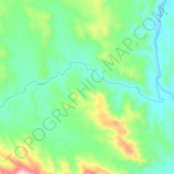
Name: Dimtu topographic map, elevation, terrain.
Location: Dimtu, Kemashi, Benishangul-Gumuz Region, Ethiopia (9.40733 35.86173 9.43700 35.96565)
Average elevation: 3,606 ft
Minimum elevation: 2,877 ft
Maximum elevation: 5,600 ft
Other topographic maps
Click on a map to view its topography, its elevation and its terrain.
Asosa
Ethiopia > Benishangul-Gumuz Region
Asosa or Assosa is the capital of Benishangul-Gumuz Region, Ethiopia. Located in the Asosa Zone, this town has a latitude and longitude of 10°04′N 34°31′E / 10.067°N 34.517°E / 10.067; 34.517, with an elevation of 1,570 meters.
Average elevation: 4,268 ft
Asosa
Ethiopia > Benishangul-Gumuz Region
Asosa or Assosa is the capital of Benishangul-Gumuz Region, Ethiopia. Located in the Asosa Zone, this town has a latitude and longitude of 10°04′N 34°31′E / 10.067°N 34.517°E / 10.067; 34.517, with an elevation of 1,570 meters.
Average elevation: 4,268 ft