
Thank you for supporting this site ❤️
Make a donation
Make a donation
Gear up for your next adventure:
As an Amazon Associate, this site earns from qualifying purchases at no extra cost to you.
river topographic map
Click on the map to display elevation.
Thank you for supporting this site ❤️
Make a donation
Make a donation
Gear up for your next adventure:
As an Amazon Associate, this site earns from qualifying purchases at no extra cost to you.
About this map
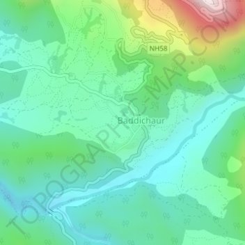
Name: river topographic map, elevation, terrain.
Location: river, Kunathari, Barahtal, Surkhet, Karnali Pradesh, Nepal (28.71416 81.50254 28.71472 81.50293)
Average elevation: 1,893 ft
Minimum elevation: 1,424 ft
Maximum elevation: 3,284 ft
Thank you for supporting this site ❤️
Make a donation
Make a donation
Gear up for your next adventure:
As an Amazon Associate, this site earns from qualifying purchases at no extra cost to you.