Geolocate

Orto topographic map

Click on the map to display elevation.

About this map

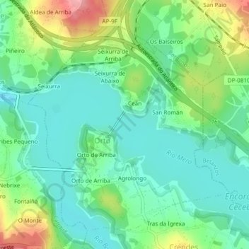
Name: Orto topographic map, elevation, terrain.

Location: Orto, Abegondo, La Coruña, Galicia, España (43.26713 -8.29627 43.29116 -8.27011)

Average elevation: 174 ft

Minimum elevation: 62 ft

Maximum elevation: 440 ft

Other topographic maps

Click on a map to view its topography, its elevation and its terrain.

Capela

España > Galicia > La Coruña > Abegondo > Orto de Arriba

Average elevation: 194 ft

Xuanzo

España > Galicia > La Coruña > Abegondo

Average elevation: 427 ft

Longueiral

España > Galicia > La Coruña > Abegondo > O Nogueiral

Average elevation: 492 ft

A Picota

España > Galicia > La Coruña > Abegondo

Average elevation: 482 ft

Gear up for your next adventure:

🥾Men's Hiking Boots - Durable, waterproof footwear for rugged terrain and steep inclines
🩹Survival Bandages - High‑quality bandages for emergencies
💧Water Purification System - Clean water on the trail with reliable purifiers
🪵Folding Camp Saw - Compact saw for wood and campsite work
🪶Paracord Bracelet - Survival bracelet with built‑in tools

As an Amazon Associate, this site earns from qualifying purchases at no extra cost to you.