
Thank you for supporting this site ❤️
Make a donation
Make a donation
Gear up for your next adventure:
As an Amazon Associate, this site earns from qualifying purchases at no extra cost to you.
Amlekhganj topographic map
Click on the map to display elevation.
Thank you for supporting this site ❤️
Make a donation
Make a donation
Gear up for your next adventure:
As an Amazon Associate, this site earns from qualifying purchases at no extra cost to you.
About this map
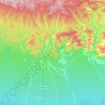
Name: Amlekhganj topographic map, elevation, terrain.
Location: Amlekhganj, Jitpur Simara, Bara, Province #2, Nepal (27.22271 84.95643 27.36565 85.05562)
Average elevation: 1,302 ft
Minimum elevation: 610 ft
Maximum elevation: 2,664 ft
Thank you for supporting this site ❤️
Make a donation
Make a donation
Gear up for your next adventure:
As an Amazon Associate, this site earns from qualifying purchases at no extra cost to you.