
Mount Mtelo topographic map
Interactive map
Click on the map to display elevation.
About this map
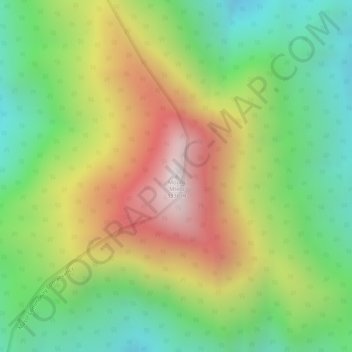
Name: Mount Mtelo topographic map, elevation, terrain.
Location: Mount Mtelo, West Pokot, Kenya (1.65986 35.38178 1.65996 35.38188)
Average elevation: 9,304 ft
Minimum elevation: 8,015 ft
Maximum elevation: 10,883 ft
Other topographic maps
Click on a map to view its topography, its elevation and its terrain.