Geolocate

Gabal Elba topographic map

Click on the map to display elevation.

About this map

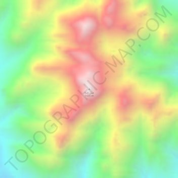
Name: Gabal Elba topographic map, elevation, terrain.

Location: Gabal Elba, Red Sea, Egypt (22.16785 36.36483 22.16795 36.36493)

Average elevation: 3,294 ft

Minimum elevation: 1,965 ft

Maximum elevation: 4,633 ft

Other topographic maps

Click on a map to view its topography, its elevation and its terrain.

Gulf of Suez

Egypt > Red Sea

Average elevation: 1,578 ft

Gamsha

Egypt > Red Sea

Average elevation: 154 ft

Southern Gaysum

Egypt > Red Sea

Average elevation: 0 ft

Al Qusair City

Egypt > Red Sea

Average elevation: 154 ft

Marsa Alam City

Egypt > Red Sea

Average elevation: 62 ft

Gear up for your next adventure:

🎒Trail Energy Bars - High‑calorie bars for hiking energy
📡GPS Antenna Upgrade - Enhance GPS reception in remote terrain
🔌USB Car Charger - Car charger for on‑the‑go power needs
🔥Fast-Boil Camping Stoves - Efficient cooking systems for quick trail meals
🔭Stargazing Telescopes - Perfect for camping in low-light pollution areas shown on maps

As an Amazon Associate, this site earns from qualifying purchases at no extra cost to you.