Geolocate

Mayong topographic map

Click on the map to display elevation.

About this map

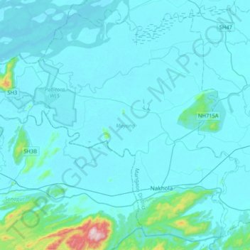
Name: Mayong topographic map, elevation, terrain.

Location: Mayong, Marigaon, Assam, India (26.06247 91.97291 26.33438 92.29906)

Average elevation: 285 ft

Minimum elevation: 148 ft

Maximum elevation: 2,392 ft

Other topographic maps

Click on a map to view its topography, its elevation and its terrain.

Nakhola

India > Assam > Mayong

Average elevation: 338 ft

Gear up for your next adventure:

🪑Portable Camp Table - Compact table for campsite meals
🪶Camp Gear Gift Set - Perfect gift bundle for outdoor fans
🔌Solar Panel Charger - Charge gear sustainably outdoors
🌐World Map Poster - Decorative world maps with topographic info
🌲Outdoor Survival Books - Best books on survival skills

As an Amazon Associate, this site earns from qualifying purchases at no extra cost to you.