
Searchmont topographic map
Click on the map to display elevation.
About this map
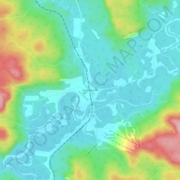
Name: Searchmont topographic map, elevation, terrain.
Average elevation: 935 ft
Minimum elevation: 732 ft
Maximum elevation: 1,476 ft
Other topographic maps
Click on a map to view its topography, its elevation and its terrain.
Granitehill Lake
Canada > Ontario > Algoma District > Unorganized North Algoma
Average elevation: 1,247 ft
Obakamiga River;Redfin Lake
Canada > Ontario > Algoma District > Unorganized North Algoma
Average elevation: 1,125 ft