
Make a donation
Gear up for your next adventure:
As an Amazon Associate, this site earns from qualifying purchases at no extra cost to you.
Leidsche Rijn topographic map
Click on the map to display elevation.
Make a donation
Gear up for your next adventure:
As an Amazon Associate, this site earns from qualifying purchases at no extra cost to you.
Leidsche Rijn
In de loop van de geschiedenis worden als antwoord hierop verschillende maatregelen genomen, waarvan het graven van de Vleutense Vaart omstreeks 700 de eerste is. Dit kanaal begint in de rivier de Rijn dicht bij het huidige Utrechtse Domplein. Na ruim 4 km eindigt het in dezelfde rivier ter hoogte van Den Hoet. Met deze maatregel worden enkele zeer scherpe meanders afgesneden, met name in het gebied van de Hoge Weide.
Make a donation
Gear up for your next adventure:
As an Amazon Associate, this site earns from qualifying purchases at no extra cost to you.
About this map
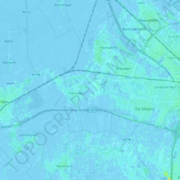
Name: Leidsche Rijn topographic map, elevation, terrain.
Location: Leidsche Rijn, Woerden, Utrecht, Nederland (52.08172 4.89103 52.10529 5.08021)
Average elevation: 0 ft
Minimum elevation: -13 ft
Maximum elevation: 66 ft
Make a donation
Gear up for your next adventure:
As an Amazon Associate, this site earns from qualifying purchases at no extra cost to you.
Other topographic maps
Click on a map to view its topography, its elevation and its terrain.