
Grant County topographic map
Interactive map
Click on the map to display elevation.
About this map
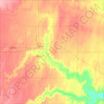
Name: Grant County topographic map, elevation, terrain.
Location: Grant County, Kansas, 67880, USA (37.38831 -101.52705 37.73697 -101.08812)
Average elevation: 3,064 ft
Minimum elevation: 2,835 ft
Maximum elevation: 3,222 ft
Other topographic maps
Click on a map to view its topography, its elevation and its terrain.
Council Grove Dam
Council Grove Dam, Morris County, Kansas, USA
Average elevation: 1,283 ft
Independence
USA > Kansas > Independence
Independence, Montgomery County, Kansas, 67301, USA
Average elevation: 804 ft