
杨梅镇 topographic map
Interactive map
Click on the map to display elevation.
About this map
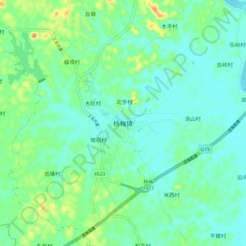
Name: 杨梅镇 topographic map, elevation, terrain.
Location: 杨梅镇, 茂名市, 广东省, 中国 (21.51181 110.57082 21.59181 110.65082)
Average elevation: 69 ft
Minimum elevation: 16 ft
Maximum elevation: 213 ft
Other topographic maps
Click on a map to view its topography, its elevation and its terrain.