
坡村 topographic map
Interactive map
Click on the map to display elevation.
About this map
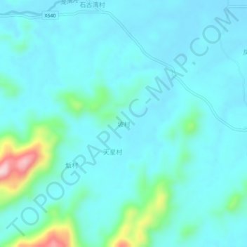
Name: 坡村 topographic map, elevation, terrain.
Location: 坡村, 茂名市, 广东省, 中国 (21.60199 111.29137 21.64199 111.33137)
Average elevation: 174 ft
Minimum elevation: 49 ft
Maximum elevation: 912 ft
Other topographic maps
Click on a map to view its topography, its elevation and its terrain.